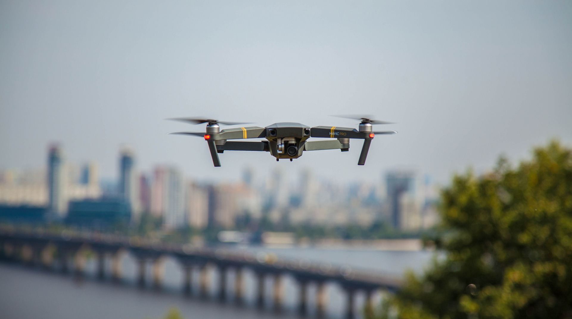
Creotech Instruments S.A., as of 12 October 2021 a company listed on the Warsaw Stock Exchange’s NewConnect market, in partnership with Droneradar and the Wrocław Institute of Spatial Information and Artificial Intelligence (WIZIPiSI), launched tests of its new service, GREy. The Geomatic Remote Eye System (GREy) is designed to support drone operators in assessing the risk associated with their planned flight.
The global drone market is seeing rapid growth, a trend we can be proud of as Poland is at the absolute forefront of European UAV (unmanned aerial vehicle) efforts, especially when it comes to the formal aspects of BVLOS (Beyond Visual Line of Sight) missions.
One of the major obstacles to the further development of UAV services is the requirement for a pre-flight multidimensional risk analysis. Thus far, drone users have had to independently analyze the planned flight path relying on data from various sources and generally available tools that are purely declarative in nature. The GREy system leverages an enormous repository of geospatial data (including numerical land cover models, satellite imagery, and other data from public registers) to perform an in-depth flight risk analysis automatically. All the operator has to do is select the desired mission area or mark the planned route on a map. The system, powered by artificial intelligence algorithms, can automatically generate a PDF report ready for submission to relevant authorities or, alternatively, present the result of the entire analysis.
GREy will also advise the user of the accuracy and the recency of the data underlying the analysis. For the most common tasks, a comprehensive report will be available in mere minutes.
“We are proud of our ambitious projects. We are not only an advanced space tech company but, together with our partners, also create integrated systems for the rapidly developing UAV market. I am confident that GREy, as well as other similar tools, will greatly improve the safety of UAV operations and facilitate their mass deployment in other applications,” said Grzegorz Brona, President of the Management Board of Creotech Instruments S.A.
“WIZIPiSI is Poland’s leading company in the application of AI to geographic information systems. GREy is an excellent example of the practical implementation of our competencies to solving real problems of the fledgling UAV services market,” added Tomasz Berezowski, Vice President of the Management Board of WIZIPiSI, responsible for the GREy project.
The data and algorithms used for risk analysis in GREy are consistently being updated. The rules governing the system can also be adapted to changing legal requirements and user expectations. Thanks to this, operators in any location in Poland will be able to plan safe flights with due diligence by submitting their desired flight path in advance and presenting a credible report to the relevant authorities.
GREy takes data concerning topographic objects, i.e. infrastructure, buildings, industrial facilities, etc. and classifies them according to the risk posed to unmanned flights. Of particular importance is data on identified obstacles such as medium and high voltage overhead power lines, wind farms, towers, masts, railway lines and others. The analysis also considers safety aspects related to permanent or temporary human presence within the relevant area.
The service has already attracted considerable interest. Mass testing is currently underway within a selected group of drone users, though registration is still open (https://www.grey.aero/beta-tests-program).
The system was developed over the span of 3 years in close partnership between Creotech Instruments, Droneradar and the Wrocław Institute of Spatial Information and Artificial Intelligence. GREy is slated for release on the Polish and foreign markets in early 2022.

 Subscribe to receive latest news: