
EagleEye 2.0
Earth Observation

HyperSat Eagle 2.0

Multispectral high-resolution Earth Observation

EagleEye 2.0
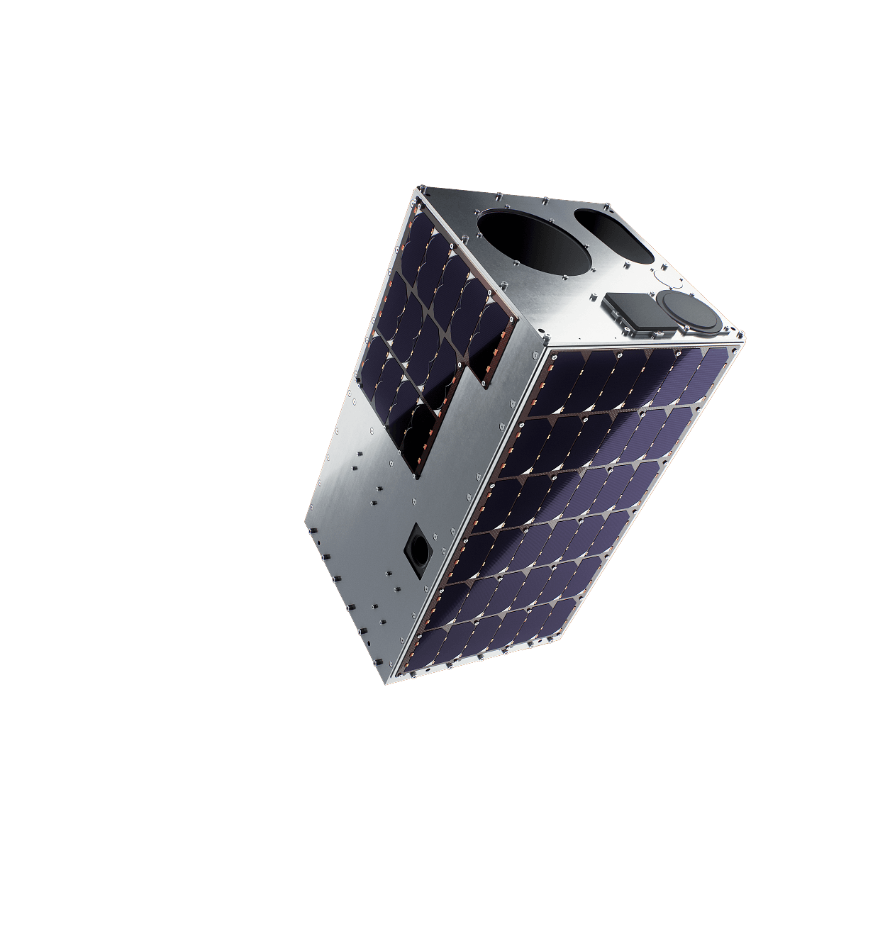
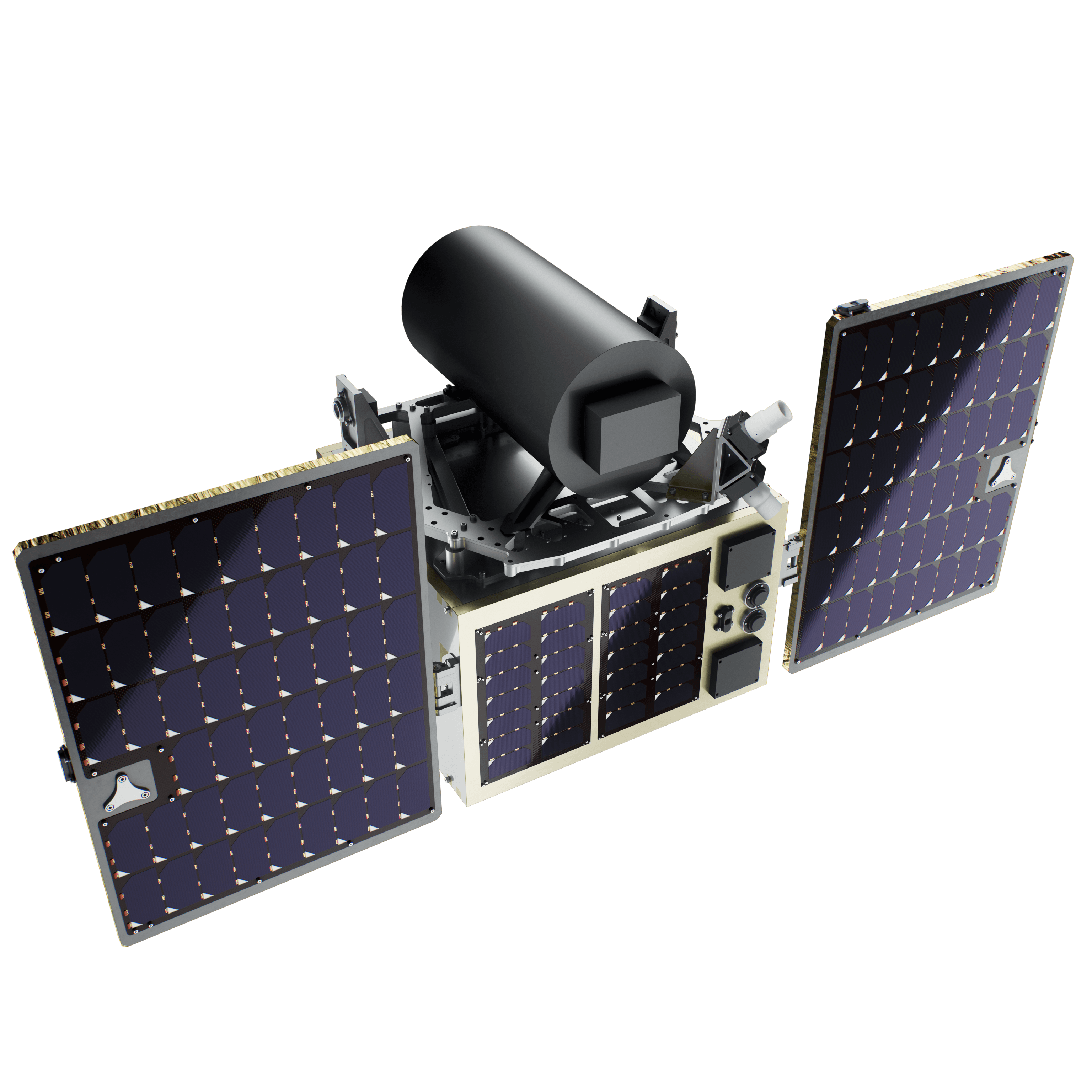
An ESPA-class half-plate EO satellite on HyperSat Eagle v2.0, flight-proven and already on order by multiple civilian and defence customers. Subsystem redundancy meets the requirements of multi-year missions and applications where long-term operational continuity is of utmost importance: defense situational awareness, security, critical infrastructure and border monitoring. Customers gain deeper level of confidence and decision-making improvement.Soveregin optical Earth Ebservation at 1–2 m GSD on a fully redundant platform.
Explore product

Modes:

Spotlight, Strip-map, Stereo

Bands:

PAN + VIS + NIR

Communication:

CCSDS, PUS-C, S-band for TT&C, X-band for data, OISL optional

Typical latency over Europe:

~90 minutes (ground-station dependent)

What you get:

A mission ready EO spacecraft and a set of additional, on-demand services:

End-to-end mission management, a full coverage from design review to end of life
Ground Segment as a Service - shared antenna network and mission control, with no ground infrastructure capex on your side
Launch campaign support - launcher selection, integration, licensing and shipment
Training and knowledge transfer - sovereign capabilities built in-house
test
HyperSat Eagle

Imaging Capabilities

Imaging modes

  • Single image (Spotlight)

  • Strip-map

  • Stereo

Spectral bands

  • Panchromatic (PAN) and Multispectral (MS): VIS + NIR

  • Bands can be tailored within the supported ranges

Performance

Spotlight mode

Assumptions

500 km altitude, SSO, nadir pointing; off-nadir angles up to plus/minus 30 degrees available.

  • GSD : ~1 m (PAN, high GSD mode) / ~2 m (MS)

  • Geolocation accuracy: ≤ 3 m (using Ground Control Points)

  • Communication standards: CCSDS, PUS-C, S-band for TT&C, X-band for data, optional Optical Intersatellite Link (OISL); Encryption: AES-256, SDLS-compliant; Uplink: S-band, 128 kbps; Downlink: S-band up to 1Mbps / X-band up to 500 Mbps

Data volume and latency

  • Daily imaging rate: >100 images captured, stored and downlinked (assuming a 3.5 m ground-station antenna)

  • Data latency: Typically ~90 minutes over Europe (depends on ground-station locations), can be shortened using OISL/satellite relay

Work with us

Share your imaging requirements, area of interest, and data latency expectations. We'll propose a tailored mission concept, satellite configuration, and delivery plan.

Get a Quote