




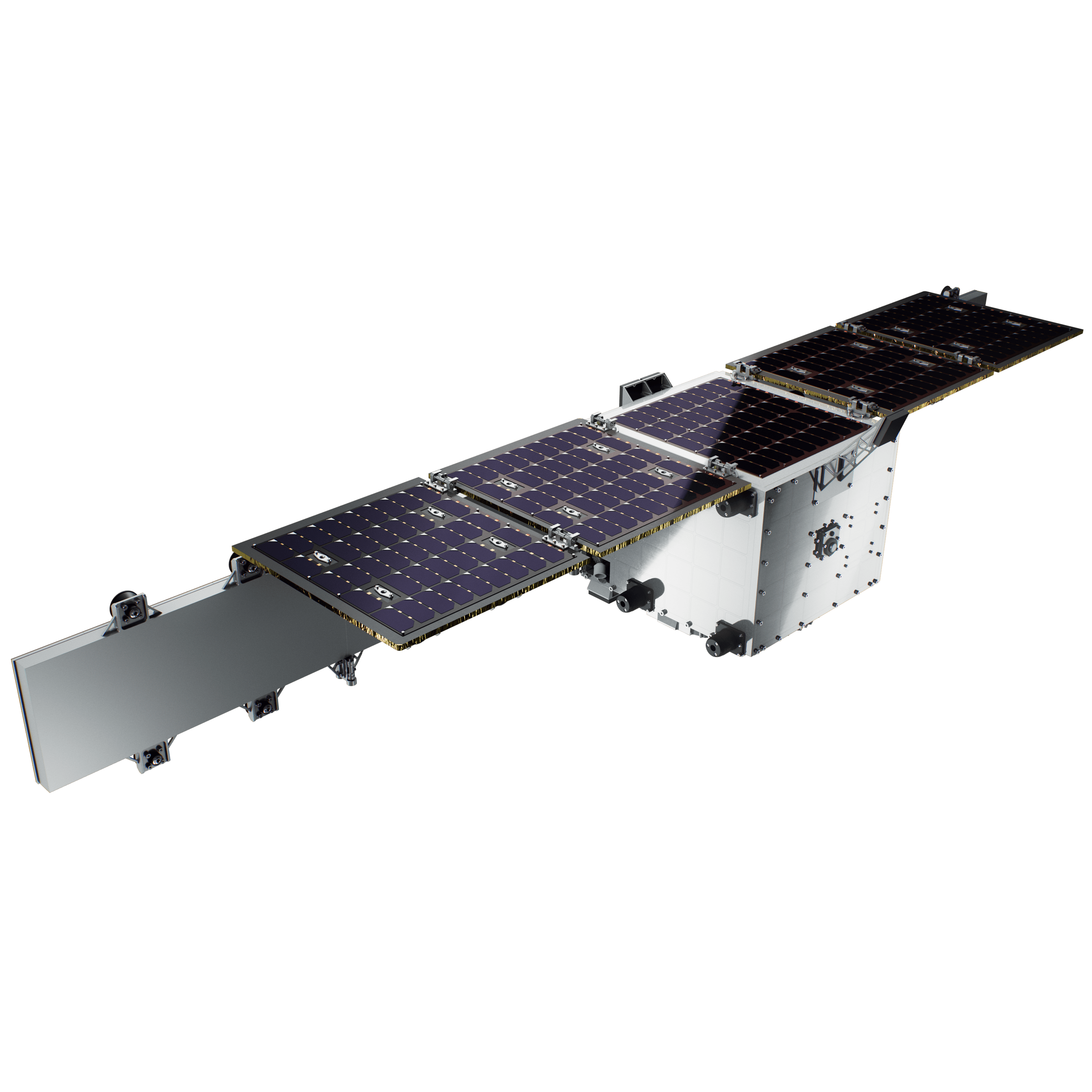
Modes:
Spotlight, Strip-map, ScanSAR, Interferometry
Modes:
Spotlight, Strip-map, ScanSAR, Interferometry
Bands:
X-band
Typical latency over Europe:
~90 minutes (ground-station dependent)

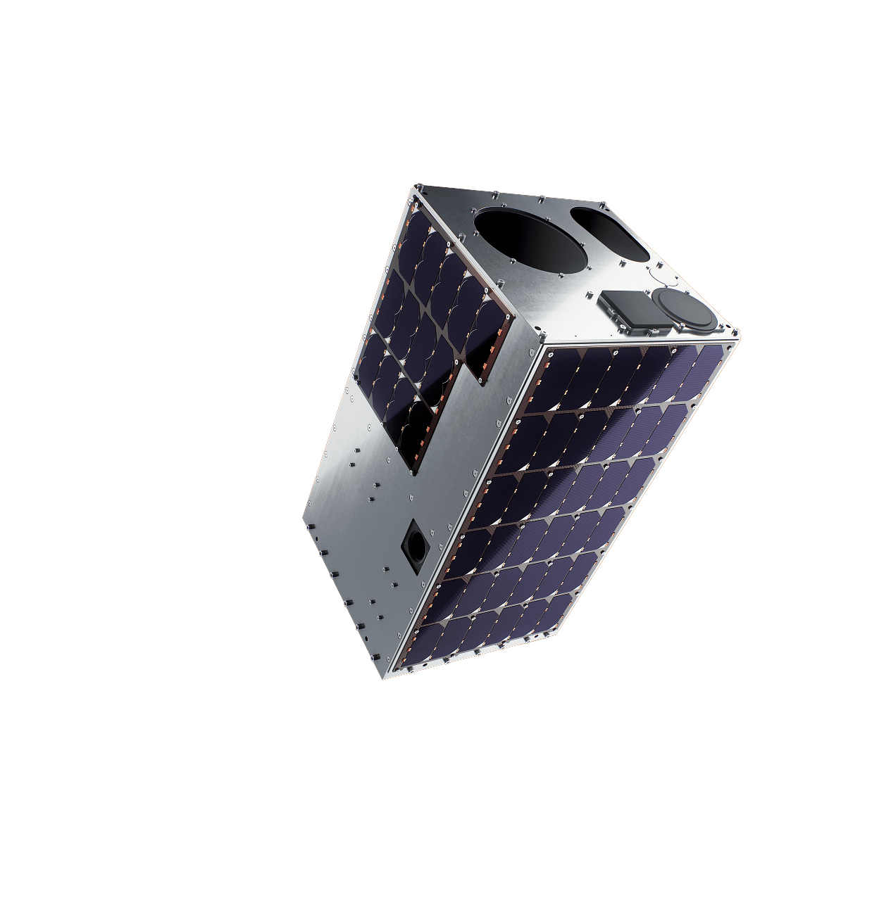
Single image (Spotlight)
Strip-map
ScanSAR
Interferometry
X-band
All values assume 500 km altitude, SSO, incident angles between 20 and 40 degrees.
Ground Resolution: • 5 m (using Ground Control Points)
Geolocation accuracy: 5 m (using Ground Control Points)
Communication standards: CCSDS, PUS-C, S-band for TT&C, X-band for data, optional incorporation of Optical Intersatellite Link (OISL); Encryption: AES-256, SDLS-compliant; Uplink: S-band, 128 kbps; Downlink: S-band up to 1Mbps / X-band up to 500 Mbps
Daily imaging rate: 5 data takes per orbit (Spotlight); over 600 kilometers continuous imaging (Stripmap)
Data latency: typically ~90 minutes over Europe (depends on ground-station locations)

