
platform
Earth Observation

HyperSat Seagull Platform

The largest and most power-capable HyperSat platform

platform
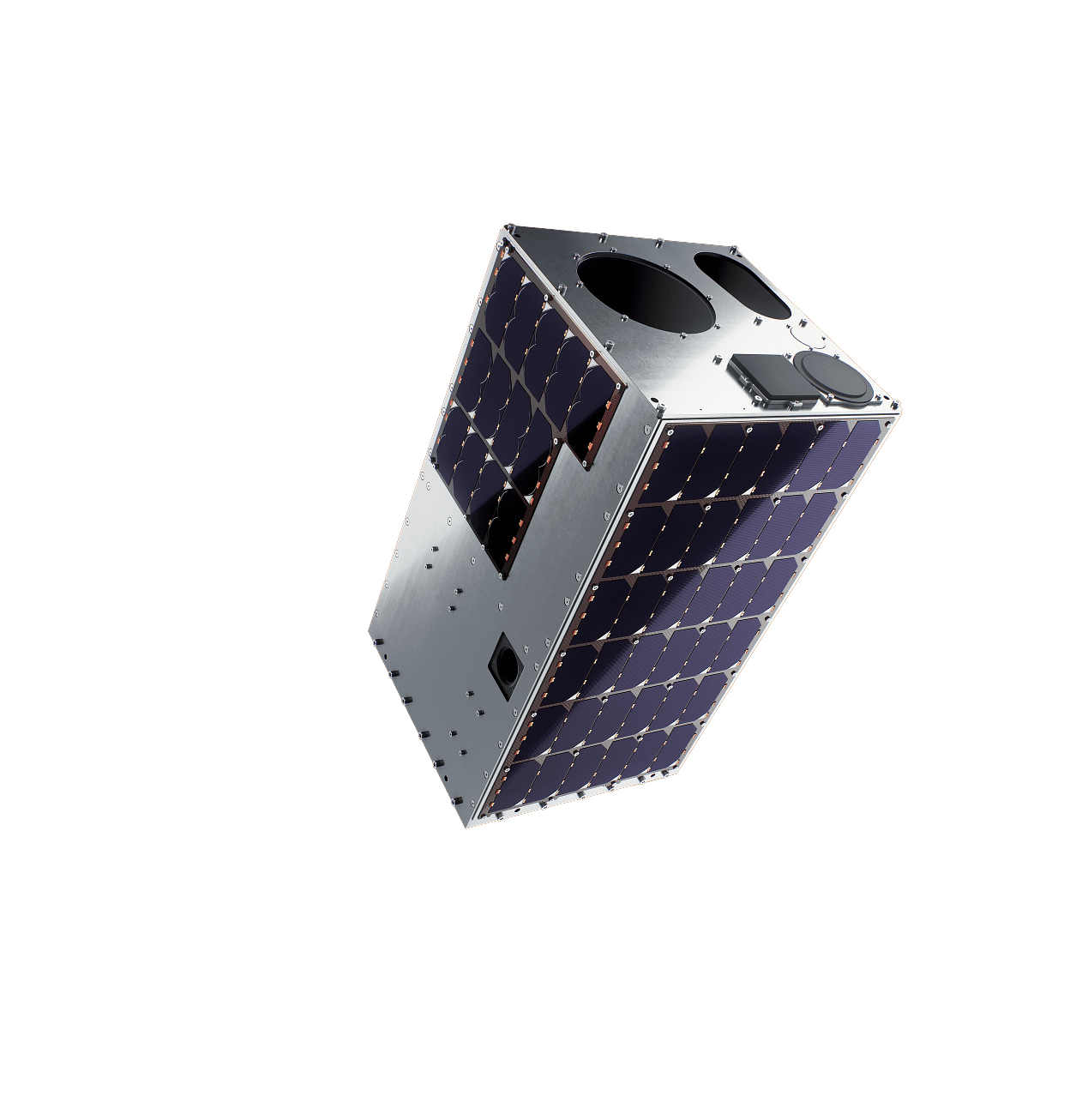
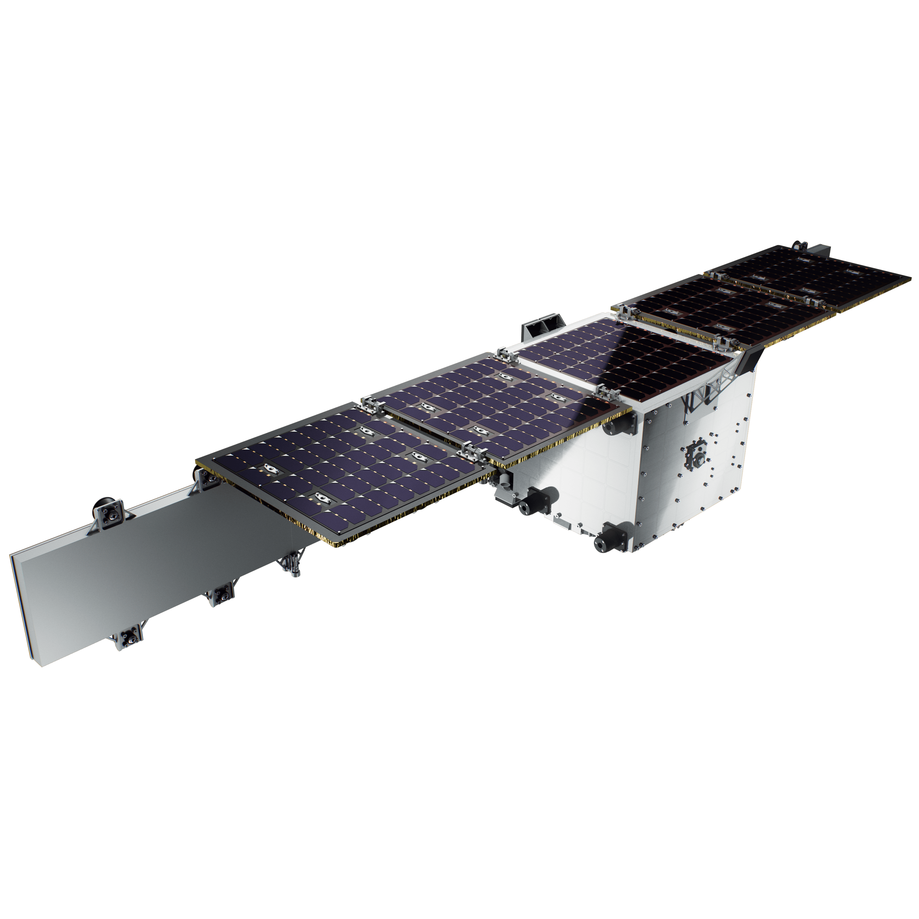
The largest and most power-capable HyperSat platform, a full-plate minisatellite built around SAR and other high-power, high-data-rate payloads. Designed for SAR Earth Observation, RF signal intelligence, connectivity and in-orbit servicing missions. Gen 1.0 in development now, first flight planned for Q4 2027.Why HyperSat Seagull?Very large payload bay: up to 140 kg of integrated instruments in an ESPA-class, full plate satellite.Built for power-demanding payloads: power and thermal subsystems and interface sized for e.g. SAR or communication instruments, with full avionics redundancy for long-duration operations.Exemplary use cases: Very High Resolution (VHR) SAR Earth Observation, Internet of Things, Direct-to-Device communications, Radio Frequency Signal Intelligence.
Explre product

Heritage:

First mission based on Seagull 1.0 platform on order, launch planned for Q4 2027

Propulsion:

Available - allowing for station keeping & debris avoidance

Agility:

1 deg/s slew rate

Mass, Size & Power:

250 - 320 kg satellite wet mass, SpaceX full plate minisatellite

What you get:

A versatile ITAR-free small satellite platform and a set of additional, on-demand services:

End-to-end mission management — a full coverage from design review to end of life
Ground Segment as a Service, shared antenna network and mission control, with no ground infrastructure capex on your side
Launch campaign support - launcher selection, integration, licensing and shipment
Training and knowledge transfer - sovereign capabilities built in-house
test
platform

Cooperation scenarios tailored to your needs:

Discover HyperSat Seagull Platform

  • Turnkey satellite with preintegrated payload (see satellites section),

  • Customer payload integration

  • Payload selection based on Client End User requirements

Launcher compatibility:

  • Multiple launchers available

Performance

Spotlight mode

Assumptions

500 km altitude, SSO, nadir pointing; off-nadir angles up to plus/minus 30 degrees available.

  • GSD : ~1 m (PAN, high GSD mode) / ~2 m (MS)

  • SNR: 180 (PAN) / 80 (MS)

  • MTF (Nyquist): >14% (PAN, high MTF mode)

  • FoV: 7 km x 7 km

  • Absolute radiometric accuracy (Top-of-Atmosphere): 7 km x 7 km

  • Dynamic range: 8 bits

  • Geolocation accuracy: : ≤ 3 m (using Ground Control Points)

Data volume and latency

  • Daily imaging rate: >100 images captured, stored and downlinked (assuming a 3.5 m ground-station antenna)

  • Data latency: typically ~90 minutes over Europe (depends on ground-station locations)

Eagle 2.0 Platform

Tell us your imaging needs, area of interest and data latency targets. We will propose a mission concept, configuration and delivery plan.

Find out more

Work with us

Tell us your imaging needs, area of interest and data latency targets. We will propose a mission concept, configuration and delivery plan.

Get a Quote