
Creodias
In 2017, a consortium led by Creotech Instruments was selected by the European Space Agency (ESA) as one of the...

Advanced geospatial data processing services and UAV operations support. We provide products and services focused on adding value to customers by integration a variety of geospatial data with other data streams. We also offer Unmanned Aerial Vehicles (BSPs) operations support, from flight planning through live operation monitoring to multidimensional data analysis. We use of innovative elements integrated into value-adding modular, customized solutions tailored to serve specific needs.


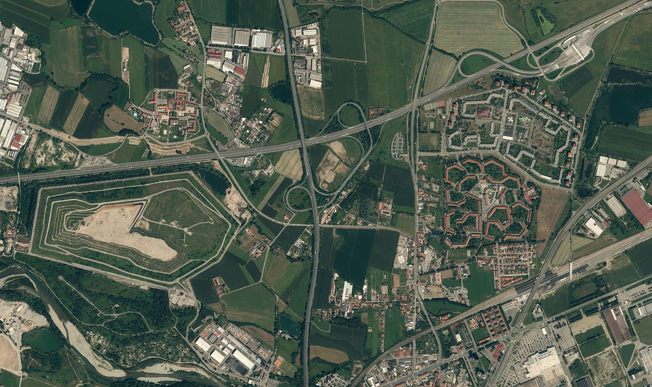
Geospatial services are value-adding services using a variety of geospatial and other data types, e.g. satellite imagery of various resolutions, drone/air imagery, LIDAR, GIS, statistical and financial information. Tailored solutions that always seek to address users’ problems and needs. It is also extremely important to add value in the most effective, innovative and efficient way. Examples include analytical portals, automated monitoring and decision support systems.
Products and services for air traffic security and operational efficiency improvement. Proposed functionalities include automated terrain obstacle detection and monitoring, live air traffic monitoring and advanced analysis with a particular focus on ADS-B, MLAT, and advanced 3D real-time visualization technologies. The primary goal of these group of services and products is to improve efficiency, accuracy, and reliability through multidimensional automation and modular, scalable and customizable solutions to be in a position to cater to diverse groups of customers and users.
Our great asset in this area is our strong relationships with highly qualified, competent partners – drone manufacturers and professional licensed operators. We are not a manufacturer of drones. Our solutions are intended to support a wide array of UAV applications. Our product and service range includes various customizable modules:
In 2017, a consortium led by Creotech Instruments was selected by the European Space Agency (ESA) as one of the...

Air obstacle detection – automated eTod (Electronic Terrain Obstacles Database) solution for aviation. A project sponsored by the NCBiR (National...

An ESA demonstration project, developed in a consortium with dlapilota and WIZIPISI. The solution evolved into a commercial portal. The project's...

CreoScan is our suite of products (hardware, software and services) supporting a wide range of UAV operations, from flight planning through live operation monitoring to data processing and use. The original CreoScan product concept evolved from the our company’s background in geospatial data processing and sharing, particularly from using UAV data as a high-resolution extension to Copernicus Program data and services available through the Creodias platform.
The modular CreoScan system is intended to provide end-to-end support for professional UAV operations, particularly in Beyond Visual Line of Sight (BVLOS) applications. Current expanded product suite supports the processing of data from diverse drone types and offers a configurable toolbox for operation planning, customized data analysis and real-time monitoring in a 3D environment.
Visit CreoScan’s website for more information>>The CreoScan portable Ground Stations can receive ADS-B flight parameter information in the field. Real-time, accurate situational awareness information received from transmitters mounted on various aerial vehicles within the reception range can be pre-processed in the Ground Station and then retransmitted (via GSM/LTE or WiFi/wire/fiber) to central systems.
Flight Monitoring System is a situational awareness system providing realistic, near real-time visualization of a variety of data streams over a 3D terrain model with advanced automated notification and analysis options. Its main applications include smart live monitoring of UAV and aerial operations.
Drone Rapid Mapping system (DRM) is an integrated hardware and software solution for rapid generation of drone imagery-based maps and 3D models directly in the field. Dedicated to emergency response operations support and other field activities requiring fast responses, high mobility and autonomy. DRM offers quick visualization of selected areas of interest using local, network-independent computing and images collected by drones.
We have in our portfolio customized services designed for specific groups of customers and applications, e.g. farmers, infrastructure operators, crisis management, municipalities, spatial planning, environmental protection. Use cases include monitoring plant, crop condition, landslides, land use, infrastructure and water bodies. Additional functionalities can be obtained by connecting to relevant services offering customized measurements and analysis capabilities (e.g. automated coal heap volume calculation based on drone imagery). The starting point for developing every modular upgrade solution is the analysis of user issues and needs.
The SAMPLE system was developed as part of a consortium with the Polish Air Navigation Services Agency (PANSA) and AP-TECH. It is used for the automated detection and monitoring of terrain obstacles using high-resolution satellite optical imagery in combination with other relevant data (LIDAR, radar, drones, in-situ video surveillance). SAMPLE was designed to monitor the vicinity of airports, as per ICAO requirements, and enables performing obstacles analyses for selected areas of UAV operations.
GREY (ang. Geomatic Remote EYe) is a system, which enables the collection of elevation data for given points or geographical areas. However, its most important feature is the ability to generate terrain profiles along planned UAV BVLOS flight routes and their nearest vicinity. Additional features include risk heat maps and information on charted obstacles and slender objects. The system has been developed jointly with our partners: Wroclaw Institute of Spatial Information and Artificial Intelligence (WIZIPISI) and dlapilota.pl portal. Initially it was implemented as a European Space Agency demonstration project. Currently commercially available for the whole territory of Poland.
 Subscribe to receive latest news:Thank You!